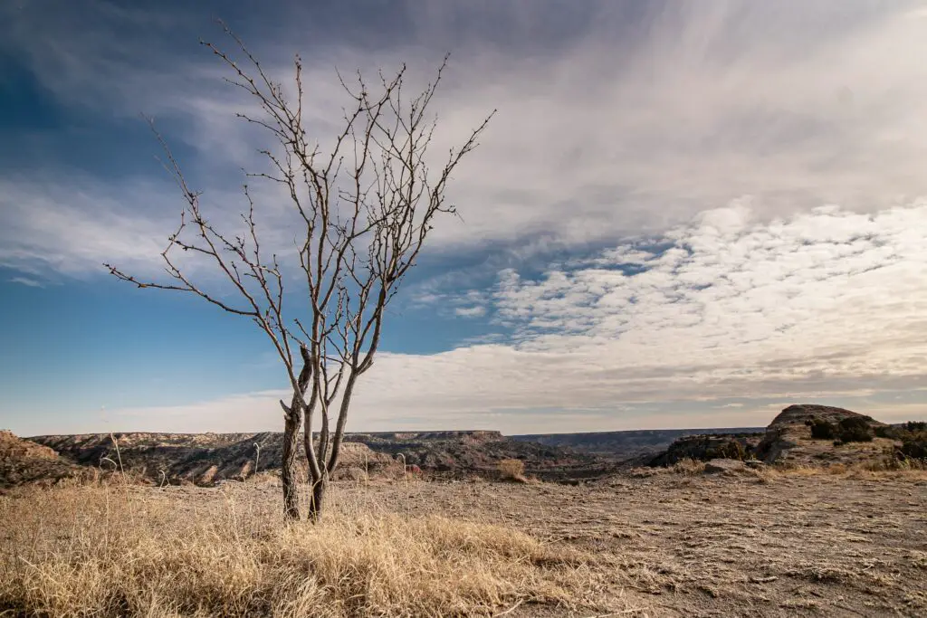
The driest state in the United States is a matter of debate and interpretation, as there are several ways to define and measure “dryness” in terms of climate, precipitation, and water availability. However, based on various metrics and factors, including average annual rainfall, evaporation rates, aridity index, and groundwater depletion, there are a few states that stand out as particularly dry or water-stressed.
One way to measure dryness is to look at the average annual rainfall, which is the amount of precipitation that falls on a given area over a year. By this metric, the driest state in the US is generally considered to be Nevada, which has an average annual rainfall of only 9.5 inches (240 mm) per year, according to the National Oceanic and Atmospheric Administration (NOAA). This is less than half the US average of 22.9 inches (580 mm) per year, and is due in part to Nevada’s arid climate, which is characterized by hot summers, cold winters, and low humidity.
Another way to measure dryness is to look at the evaporation rates, which is the amount of water that evaporates from the soil and vegetation. By this metric, the driest state in the US is likely to be Arizona, which has some of the highest evaporation rates in the country, due to its high temperatures, low humidity, and abundant sunlight. According to the Arizona Geological Survey, the average annual evaporation rate in Arizona ranges from 70 inches (1,800 mm) in the north to 100 inches (2,500 mm) in the south, which is several times higher than the average rainfall in the state.
A third way to measure dryness is to look at the aridity index, which is a measure of the balance between precipitation and evaporation in a given area. By this metric, the driest state in the US is likely to be either Nevada or Arizona, both of which have aridity indices above 3.0, indicating that they are extremely dry and have a high risk of drought. Other states with high aridity indices include Utah, Wyoming, and New Mexico, all of which have aridity indices above 2.0.
Finally, a fourth way to measure dryness is to look at the groundwater depletion, which is the amount of water that is extracted from underground aquifers faster than it can be replenished by natural processes. By this metric, several states in the western US are facing severe water shortages and are considered to be among the driest in the country. These include California, which has been in a prolonged drought since 2011 and has seen significant depletion of its groundwater resources, as well as Arizona, Nevada, and New Mexico, which are also facing water shortages and have implemented various measures to conserve water and manage their limited resources.
In conclusion, the driest state in the US is a complex and multifaceted issue that depends on various factors and metrics. Based on average annual rainfall, Nevada is typically considered the driest state, while based on evaporation rates, Arizona is likely the driest. When considering aridity index and groundwater depletion, several western states including Nevada, Arizona, Utah, Wyoming, and New Mexico are among the driest and face significant water shortages and management challenges.